Search our collection

Affichage de 82 résultats
Archival description82 résultats avec objets numériques Afficher les résultats avec des objets numériques
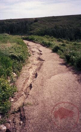
Figure 4.5, site 4B - path of the people switchback trail
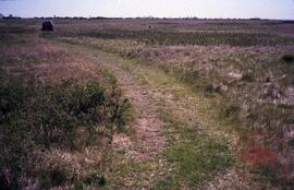
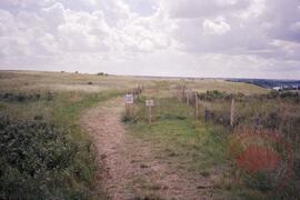
Figure 4.12, site 7 - grassy plateau trail
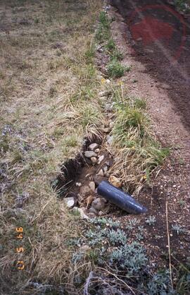
Road showing damage from water run-off
Path showing damage from water run-off
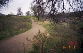
Figure 4.14, site 8 - low boggy area
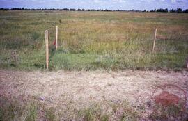
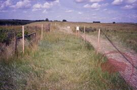
Figure 4.13 - enclosure station number 1 located near the start of the buffalo trail
Area fenced off for vegetation recovery experiment
Area fenced off for vegetation recovery experiment
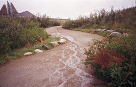
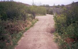
Figure 4.1, site 1 - start of trail network
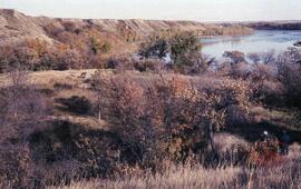
![A2 mouth of [Opimihaw] creek - possible bison pound, village site in valley](/uploads/r/null/f/c/c/fcc95a0f58443a988fe6bbe9705251cd9e13c08a412bbc09aa70249c94e8db0d/2022_004_009_05_142.jpg)
A2 mouth of [Opimihaw] creek - possible bison pound, village site in valley
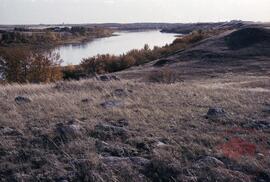
A2 looking south
Archaeology landscape study
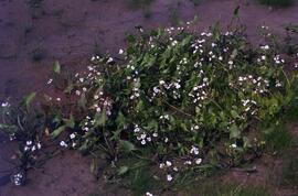
Broadleaf arrowhead
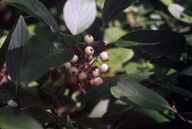
Dogwood berries
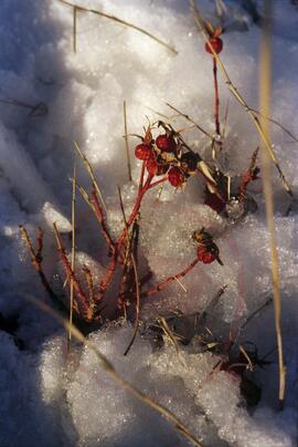
Snow covered rosehip
Résultats 31 à 45 sur 82