- RG2024-2006-086-525
- Item
- 1983
Part of Educational Media Access and Production (EMAP) fonds
Aerial views of campus
Part of Educational Media Access and Production (EMAP) fonds
Aerial views of campus
Part of Educational Media Access and Production (EMAP) fonds
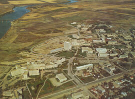
Aerial views of campus
Part of Educational Media Access and Production (EMAP) fonds
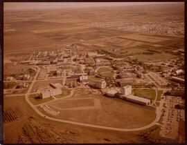
Aerial views of campus
Part of Military Collection
An elevated view of Camp Borden
Blakemore Studio
Looking west at construction on Biology and Arts buildings; Physical Education Building in foreground.
View looking northeast with College Drive running along bottom of image. Physical Education building, Hangar Building, and greenhouses in foreground, with surrounding campus buildings and fields in background.
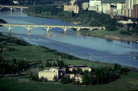
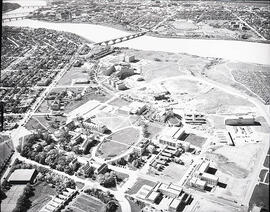
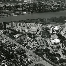
View of campus at centre; South Saskatchewan River and 25th Street Bridge at bottom; University lands and Sutherland in background. College Drive running at right of image.
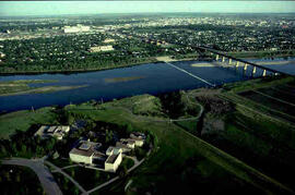
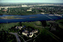
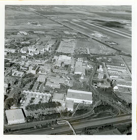
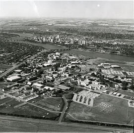
View looking northeast with University Hospital visible at bottom left of image. College Drive runs along the bottom at right; Sutherland visible at top.
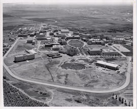
View of construction work on Biology and Arts buildings. Chemistry Building, Administration Building, north wing of Murray Memorial (Main) Library, and the Bowl in background.
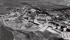
View facing southeast with Arts Building and University Hospital in foreground; Chemistry Building, the Bowl and Administration Building at centre.
Looking northeast at University Hospital, Emmanuel College Residence and St. Thomas More buildings in foreground; Arts Building and the Bowl at centre. Thorvaldson addition of Chemistry Building under construction at centre. College Drive runs along at bottom right.
Looking east at Arts Building and the Bowl and surrounding buildings; the Canada Agriculture Research Station, Department of Public Works, at foreground left. Thorvaldson addition of Chemistry Building under construction, Marquis Hall, Physical Education Building addition and Qu'Appelle Hall addition visible.
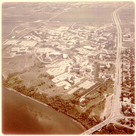
View looking northwest of campus; houses on College Drive running along bottom left of image.Robin Hood Flour Mills elevator at top of image.
View looking west at Preston Avenue running along bottom of image; campus in foreground.
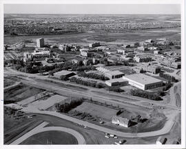
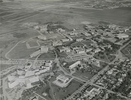
View looking northwest with relocation of Griffiths Stadium underway with track visible at bottom of image. College Drive and campus buildings at centre, with city in background.