Showing 53 results
Archival description51 results with digital objects Show results with digital objects

1950s Aerial Photo

3rd Avenue East

3rd Avenue East

400 Block Aerial View

Aerial View

Aerial View
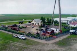
Aerial view of Museum and grounds

Aerial view of Rosetown

Aerial view of town

Bird's Eye View

Bird's Eye View Looking West

CNR Station & Highway Businesses

CPR Station

Facing West-Northwest

"Heart of the Wheat Belt"
Results 1 to 15 of 53