- RG2024-2006-086-594
- Stuk
- 1983
Part of Educational Media Access and Production (EMAP) fonds
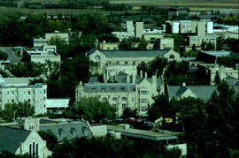
Aerial views of campus

Part of Educational Media Access and Production (EMAP) fonds
Aerial views of campus
Part of Educational Media Access and Production (EMAP) fonds
Aerial views of campus
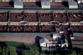
Aerial view of cattle on campus
Part of Educational Media Access and Production (EMAP) fonds
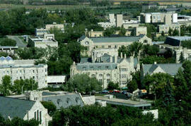
Aerial views of campus
Part of Educational Media Access and Production (EMAP) fonds
Aerial views of campus
Part of Educational Media Access and Production (EMAP) fonds
Aerial views of campus
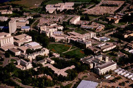
Part of Educational Media Access and Production (EMAP) fonds
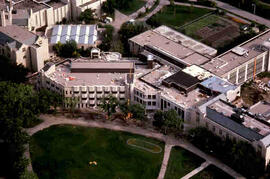
Aerial of central Campus with focus on Agriculture Building and the Bowl.
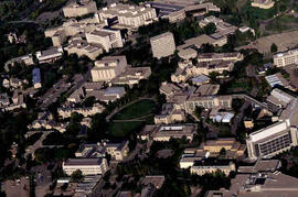
Part of Educational Media Access and Production (EMAP) fonds
Aerial of central Campus
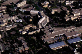
Part of Educational Media Access and Production (EMAP) fonds
Aerial of Agriculture Building and surrounding campus.
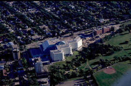
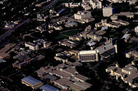
Part of Educational Media Access and Production (EMAP) fonds
Aerial of City Hospital and surrounding city.
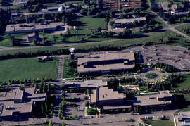
Part of Educational Media Access and Production (EMAP) fonds
Aerial of Innovation Place at the University of Saskatchewan.
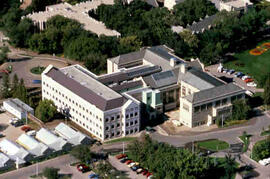
Part of Educational Media Access and Production (EMAP) fonds
Aerial view of Campus
Looking west at construction on Biology and Arts buildings; Physical Education Building in foreground.
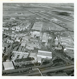
View looking northeast with College Drive running along bottom of image. Physical Education building, Hangar Building, and greenhouses in foreground, with surrounding campus buildings and fields in background.
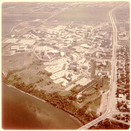
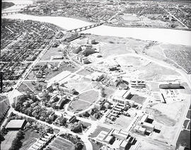
View of campus at centre; South Saskatchewan River and 25th Street Bridge at bottom; University lands and Sutherland in background. College Drive running at right of image.
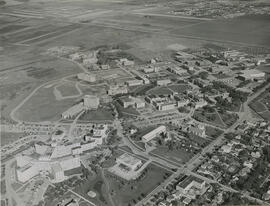
View looking northeast with University Hospital visible at bottom left of image. College Drive runs along the bottom at right; Sutherland visible at top.