- RG2024-2006-086-594
- Item
- 1983
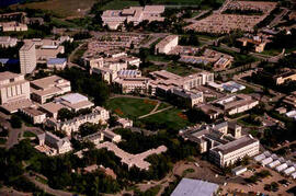
Parte de Educational Media Access and Production (EMAP) fonds
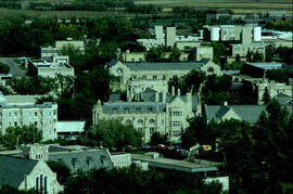
Aerial views of campus
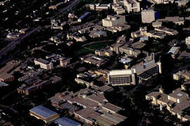
Parte de Educational Media Access and Production (EMAP) fonds
Aerial views of campus
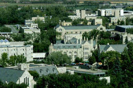
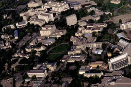
Parte de Educational Media Access and Production (EMAP) fonds
Aerial views of campus
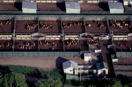
Aerial view of cattle on campus
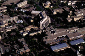
Parte de Educational Media Access and Production (EMAP) fonds
Aerial views of campus
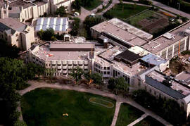
Parte de Educational Media Access and Production (EMAP) fonds
Aerial views of campus
Parte de Educational Media Access and Production (EMAP) fonds
Aerial views of campus
Parte de Educational Media Access and Production (EMAP) fonds
Aerial of central Campus with focus on Agriculture Building and the Bowl.
Parte de Educational Media Access and Production (EMAP) fonds
Aerial of central Campus
Parte de Educational Media Access and Production (EMAP) fonds
Aerial of Agriculture Building and surrounding campus.
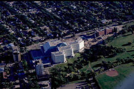
Parte de Educational Media Access and Production (EMAP) fonds
Aerial of City Hospital and surrounding city.
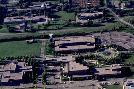
Parte de Educational Media Access and Production (EMAP) fonds
Aerial of Innovation Place at the University of Saskatchewan.
Parte de Educational Media Access and Production (EMAP) fonds
Aerial view of Campus
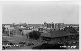
Birdseye view of Humboldt, Sask.
Aerial view of Humboldt, Saskatchewan taken from the coal dock tower looking northeast.
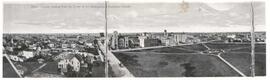
Aerial view of Regina, Saskatchewan
Parte de City of Regina fonds
The City of Regina as seen from the top of the Metropolitan Methodist Church. Victoria Park is visible in the left of the frame. Little landscaping has been done to the park.
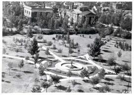
Birds'-eye view of Victoria Park in Regina
Parte de City of Regina fonds
Aerial view of Victoria Park in Regina, looking south towards Victoria Avenue. The Baptist Church and the Land Titles Building are visible and the Victoria Park Fountain is still the centre of Victoria Park (replaced by the World War I Cenotaph in 1928]
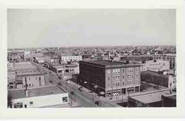
Parte de City of Regina fonds
Looking west down 11th Avenue from the corner of 11th Avenue and Cornwall Street