This series is arranged in alphabetical order by the settlement studied. There are two sets of lists: A. General files (boxes 1-5) and; B. Housing Needs Surveys (boxes 6-25).
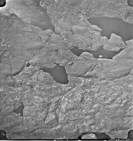
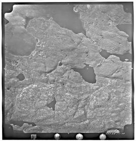
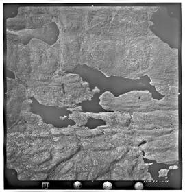
Series of 43 mosaic photos. At bottom of image: "5717-AB-1-1-9" On back of image: "Job P 1613/59 / Roll 5717 / Flight Altitude - 7000 feet AMSL / Focal Length - 152.53 mm / Date of Photography - June 6 1960 / Time (GMT) 1220-1225 HRS / Photography by Hunting Survey Corporation Limited Toronto, Canada / Copyright - The Province of Saskatchewan Department of Highways"
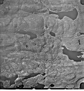
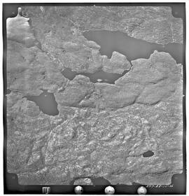
Series of 43 mosaic photos. At bottom of image: "5717-AB-1-1-25" On back of image: "Job P 1613/59 / Roll 5717 / Flight Altitude - 7000 feet AMSL / Focal Length - 152.53 mm / Date of Photography - June 6 1960 / Time (GMT) 1220-1225 HRS / Photography by Hunting Survey Corporation Limited Toronto, Canada / Copyright - The Province of Saskatchewan Department of Highways"
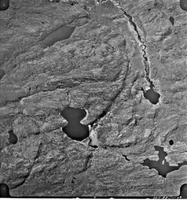
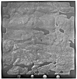
Series of 43 mosaic photos. At bottom of image: "5717-AB-1-1-33" On back of image: "Job P 1613/59 / Roll 5717 / Flight Altitude - 7000 feet AMSL / Focal Length - 152.53 mm / Date of Photography - June 6 1960 / Time (GMT) 1220-1225 HRS / Photography by Hunting Survey Corporation Limited Toronto, Canada / Copyright - The Province of Saskatchewan Department of Highways"
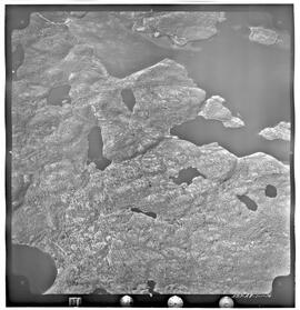
Series of 43 mosaic photos. At bottom of image: "5717-AB-1-1-43" On back of image: "Job P 1613/59 / Roll 5717 / Flight Altitude - 7000 feet AMSL / Focal Length - 152.53 mm / Date of Photography - June 6 1960 / Time (GMT) 1220-1225 HRS / Photography by Hunting Survey Corporation Limited Toronto, Canada / Copyright - The Province of Saskatchewan Department of Highways"
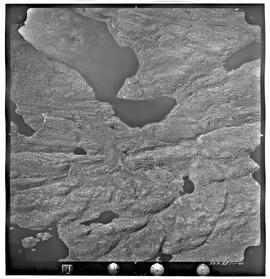
Series of 43 mosaic photos. At bottom of image: "5717-AB-1-1-16" On back of image: "Job P 1613/59 / Roll 5717 / Flight Altitude - 7000 feet AMSL / Focal Length - 152.53 mm / Date of Photography - June 6 1960 / Time (GMT) 1220-1225 HRS / Photography by Hunting Survey Corporation Limited Toronto, Canada / Copyright - The Province of Saskatchewan Department of Highways"
Series of 43 mosaic photos. At bottom of image: "5717-AB-1-1-24" On back of image: "Job P 1613/59 / Roll 5717 / Flight Altitude - 7000 feet AMSL / Focal Length - 152.53 mm / Date of Photography - June 6 1960 / Time (GMT) 1220-1225 HRS / Photography by Hunting Survey Corporation Limited Toronto, Canada / Copyright - The Province of Saskatchewan Department of Highways"
Series of 43 mosaic photos. At bottom of image: "5717-AB-1-1-26" On back of image: "Job P 1613/59 / Roll 5717 / Flight Altitude - 7000 feet AMSL / Focal Length - 152.53 mm / Date of Photography - June 6 1960 / Time (GMT) 1220-1225 HRS / Photography by Hunting Survey Corporation Limited Toronto, Canada / Copyright - The Province of Saskatchewan Department of Highways"
Series of 43 mosaic photos. At bottom of image: "5717-AB-1-1-32" On back of image: "Job P 1613/59 / Roll 5717 / Flight Altitude - 7000 feet AMSL / Focal Length - 152.53 mm / Date of Photography - June 6 1960 / Time (GMT) 1220-1225 HRS / Photography by Hunting Survey Corporation Limited Toronto, Canada / Copyright - The Province of Saskatchewan Department of Highways"
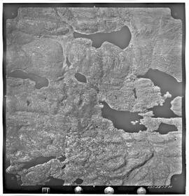
Series of 43 mosaic photos. At bottom of image: "5717-AB-1-1-34" On back of image: "Job P 1613/59 / Roll 5717 / Flight Altitude - 7000 feet AMSL / Focal Length - 152.53 mm / Date of Photography - June 6 1960 / Time (GMT) 1220-1225 HRS / Photography by Hunting Survey Corporation Limited Toronto, Canada / Copyright - The Province of Saskatchewan Department of Highways"
Series of 43 mosaic photos. At bottom of image: "5717-AB-1-1-36" On back of image: "Job P 1613/59 / Roll 5717 / Flight Altitude - 7000 feet AMSL / Focal Length - 152.53 mm / Date of Photography - June 6 1960 / Time (GMT) 1220-1225 HRS / Photography by Hunting Survey Corporation Limited Toronto, Canada / Copyright - The Province of Saskatchewan Department of Highways"
Series of 43 mosaic photos. At bottom of image: "5717-AB-1-1-40" On back of image: "Job P 1613/59 / Roll 5717 / Flight Altitude - 7000 feet AMSL / Focal Length - 152.53 mm / Date of Photography - June 6 1960 / Time (GMT) 1220-1225 HRS / Photography by Hunting Survey Corporation Limited Toronto, Canada / Copyright - The Province of Saskatchewan Department of Highways"