- ZE2.006
- Item
- [1993]
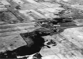
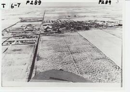
An aerial view of the Blind Creek near Zealandia flooding in the spring. The water flowed west to east and met up with the South Saskatchewan River near Saskatoon.

11 resultados com objetos digitais Mostrar resultados com objetos digitais
An aerial view of the Blind Creek near Zealandia flooding in the spring. The water flowed west to east and met up with the South Saskatchewan River near Saskatoon.
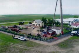
Aerial view of Museum and grounds
Aerial view shows the Tea House, Fire Hall, School, Church, Blacksmith Shop, tractors, and main buildings. Photographed from a SaskTel balloon in 2008.
Parte de Frank Glass Photograph Collection
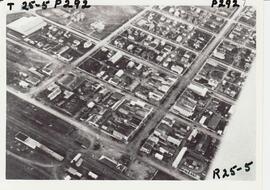
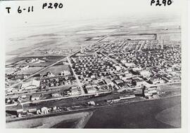
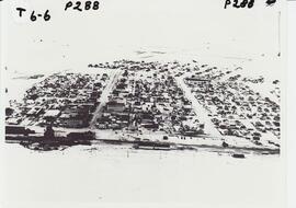
An aerial view of Rosetown from the end of Main Street and the southwest corner of town.
Parte de Frank Glass Photograph Collection
An aerial photo of Rosetown taken directly overhead with the southwest corner of town out of view.
Parte de Frank Glass Photograph Collection
An aerial view of Rosetown from the south looking north across the rooftops and countryside.
Parte de Frank Glass Photograph Collection
An aerial view of Rosetown taken at a distance from the south looking north, the entire town may be seen in a general layout.
Parte de Frank Glass Photograph Collection
An aerial photo of Rosetown taken in winter taken from the south looking north.
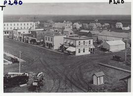
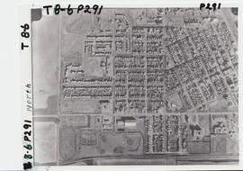
Rosetown 100 block Main Street east side
Parte de Frank Glass Photograph Collection
100 block Main St. Rosetown, business and residential areas shown.
Parte de Frank Glass Photograph Collection
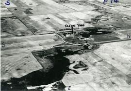
An aerial view of the Trapp Family Dam. A Ducks Unlimited conservation project.
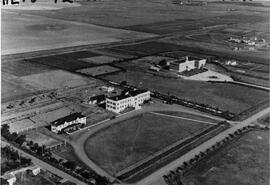
Aerial view of the hospital and nurses residence
Parte de Frank Glass Photograph Collection
An aerial view of the Rosetown Hospital and adjacent nurses residence with St. Joseph's convent beside them.
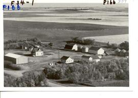
Aerial view of the Scrivens Farm.
Parte de Frank Glass Photograph Collection
Aerial view of the Scrivens Farm, located in the Camberley area, with outbuildings and shelter belt.