Kames. Lost Horse Hills west of Handsworth, Sask
Kames. Lost Horse Hills west of Handsworth, Sask
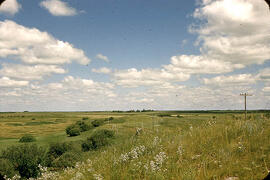
Ice-contact gravel ridge - northeast of Lampman, Saskatchewan
Index map of southwestern Saskatchewan
Index map of southwestern Saskatchewan
Drumlinized kame - Wright's gravel pit
Drumlinized kame - Wright's gravel pit
Experimental formation of drumlin
Experimental formation of drumlin
Spillway. Black Strap Coulee south of Saskatoon, Sask
Spillway. Black Strap Coulee south of Saskatoon, Sask
Sand and gravel in a glacier drainage channel
Sand and gravel in a glacier drainage channel
South Saskatchewan River at Elbow
South Saskatchewan River at Elbow
Glacial drainage channel - Moosomin Dam, Sask
Glacial drainage channel - Moosomin Dam, Sask
Slump block, east bank of Souris, south of Oxbow, Sask
Slump block, east bank of Souris, south of Oxbow, Sask
Terraces along Moose Mountain Creek
Terraces along Moose Mountain Creek
Fill terrace south of Oxbow, Sask
Fill terrace south of Oxbow, Sask
Esker near Skull Creek, Tompkins, Sask.
Esker near Skull Creek, Tompkins, Sask.
Esker in eskerine complex - view from the side
Esker in eskerine complex - view from the side
Large erratic of granodiorite
Large erratic of granodiorite