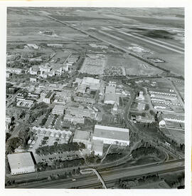
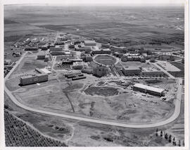
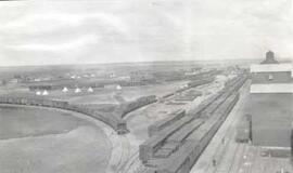
View looking northeast with College Drive running along bottom of image. Physical Education building, Hangar Building, and greenhouses in foreground, with surrounding campus buildings and fields in background.
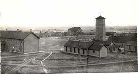
Looking west at Main Barn at centre; Chemistry Building, Administration Building, and other campus buildings also visible. College Drive runs at bottom left.
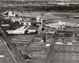
View of construction work on Biology and Arts buildings. Chemistry Building, Administration Building, north wing of Murray Memorial (Main) Library, and the Bowl in background.
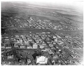
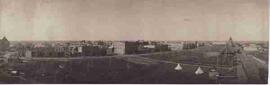
Aerial view of downtown Regina (looking north); Hotel Saskatchewan (Victoria Avenue) to northern City Limits; Metropolitan United Church (Lorne Street) to Broad Street.
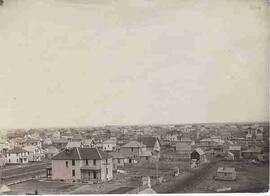
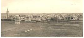
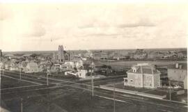
Birds'-eye view of Regina's downtown core area. View is from Victoria Avenue and Smith Street. Old Laird house is in the foreground. Knox Presbyterian Church is visible.
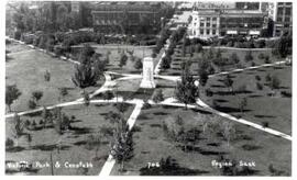
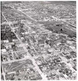
Regina's downtown from the air. Victoria Park to left middle, gingerbread City Hall to middle, roundhouse to right middle. The area from 12th Avenue to South Railway Street, Pasqua Street to Halifax Street is seen.