Aerial view of the park
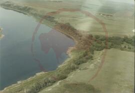
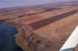
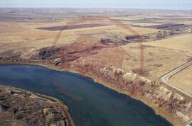
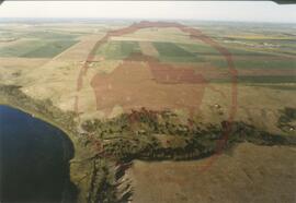
Aerial view of the park showing Opimihaw creek
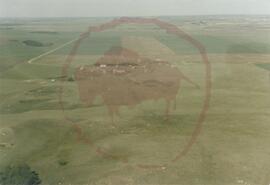
Aerial view of the park taken from the east
Aerial view of the park taken from the east
Aerial view of the park taken from the east
Aerial view of the park taken from the east showing Opimihaw creek and Penner road
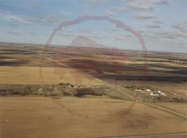
Aerial view of the park taken from the east showing Penner road
Aerial view of the park taken from the north
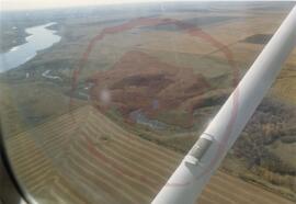
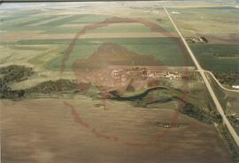
Aerial view of the park taken from the north-east showing Opimihaw creek
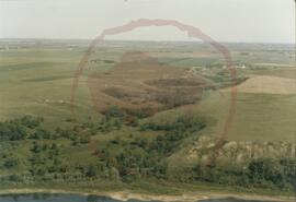
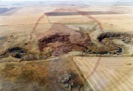
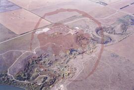
Aerial view of the park taken from the south
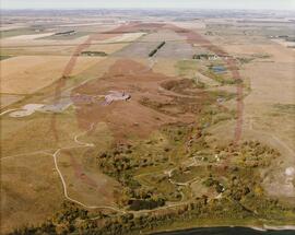
Aerial view of the park taken from the south
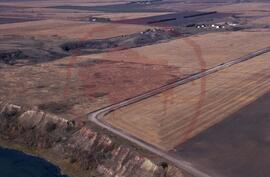
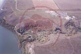
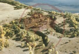
Aerial view of the park taken from the south-east
Aerial view of the park taken from the south-east
Aerial view of the park taken from the south-east
Aerial view of the park taken from the south-east
