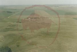
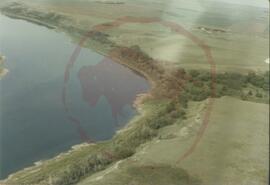
Aerial view of the park taken from the south-east
- : 2022.004.010.3
- Stuk
- [between 1982 and 1988]
1183 results with digital objects Show results with digital objects
Aerial view of the park taken from the south-east
Aerial view of the park taken from the south-east
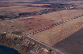
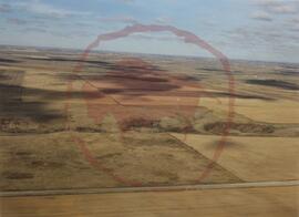
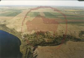
Aerial view of the park taken from the south
File contains images of the geographic landscape of Wanuskewin Heritage Park, mostly prior to the construction of the park.
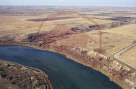
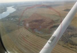
Aerial view of the park taken from the east showing Opimihaw creek and Penner road
Aerial view of the park taken from the north
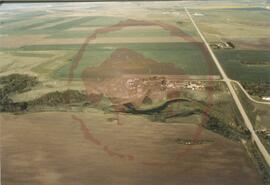
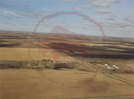
Aerial view of the park taken from the east showing Penner road
File contains photographs of people on a tour of Wanuskewin, the landscape, and archaeological sites and features.
Series consists of photographs, slides, negatives and positives produced for Wanuskewin Heritage Park (WHP). These images were created for marketing and promotion, as well as to capture the visual history of WHP. They depict the landscape, archaeological sites and digs, programs, events, performances, artifacts, displays, staff, and construction.
Aerial view of the park taken from the east
Aerial view of the park taken from the south-east
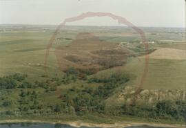
Aerial view of the park taken from the north-east showing Opimihaw creek
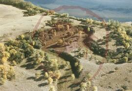
Archaeological sites, flora and fauna
File contains images depicting flora and fauna that can be found at Wanuskewin Heritage Park, as well as archaeological digs.