Showing 34 results
Archival description34 results with digital objects Show results with digital objects
Archaeology landscape study
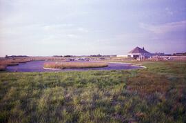
Figure 4.4, site 4A - developed parking area
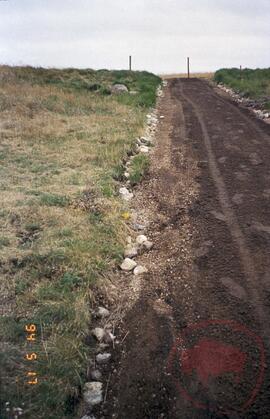
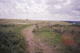
Figure 4.2, site 2 - start of discovery trail
![A1 looking north to mouth of [Opimihaw] creek and view of South Saskatchewan river](/uploads/r/null/3/4/f/34f46a39214124ac2fd653af71d7a5e9a629756d5db9da6e6f84d77bbfd13d98/2022_004_009_02_142.jpg)
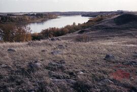
A1 looking north to mouth of [Opimihaw] creek and view of South Saskatchewan river
A2 looking up hill
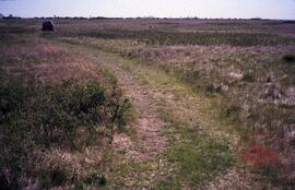
Figure 4.12, site 7 - grassy plateau trail
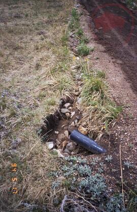
Road showing damage from water run-off
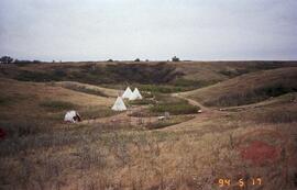
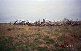
Tipi village
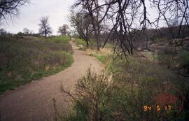
Figure 4.14, site 8 - low boggy area
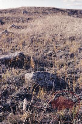
Landscape showing signs of erosion
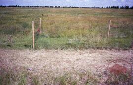
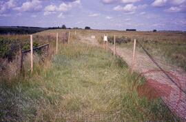
Figure 4.13 - enclosure station number 1 located near the start of the buffalo trail
Area fenced off for vegetation recovery experiment
Area fenced off for vegetation recovery experiment
![A2 mouth of [Opimihaw] creek - possible bison pound, village site in valley](/uploads/r/null/f/c/c/fcc95a0f58443a988fe6bbe9705251cd9e13c08a412bbc09aa70249c94e8db0d/2022_004_009_05_142.jpg)
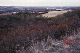
A2 mouth of [Opimihaw] creek - possible bison pound, village site in valley
A2 looking south
Resultaten 1 tot 15 van 34
- 1
- 2
- 3
- Volgende »