Search our collection

Showing 34 results
Archival description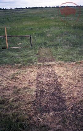
Area fenced off for vegetation recovery experiment
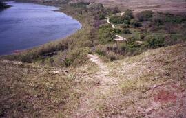
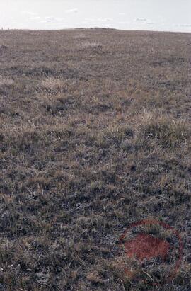
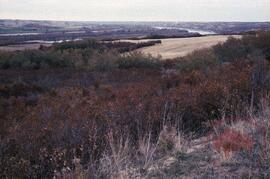
Landscape showing signs of erosion
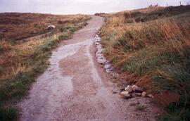
Path showing damage from water run-off
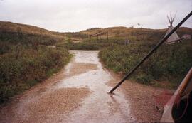
Figure 4.7, site 5 - activity area
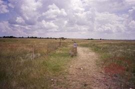
Area fenced off for vegetation recovery experiment
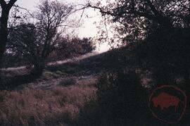
A1
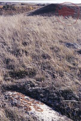
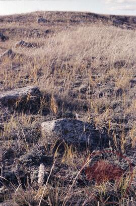
A2 probably tipi rings
A2 looking north to A3
Archaeology landscape study
Archaeology landscape study
Archaeology landscape study
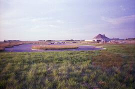
Figure 4.4, site 4A - developed parking area
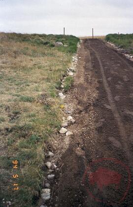
Figure 4.2, site 2 - start of discovery trail
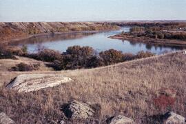
![A1 looking north to mouth of [Opimihaw] creek and view of South Saskatchewan river](/uploads/r/null/3/4/f/34f46a39214124ac2fd653af71d7a5e9a629756d5db9da6e6f84d77bbfd13d98/2022_004_009_02_142.jpg)
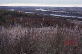
A1 looking north to mouth of [Opimihaw] creek and view of South Saskatchewan river
A2 looking up hill
Results 1 to 15 of 34