Showing 55 results

Archival description
University of Saskatchewan, University Archives & Special Collections Geology√ With digital objects
Print preview View:
Ice-shove deformation in the Dirt Hills area of Saskatchewan
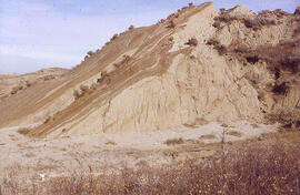
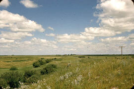
Slumping in valley of Swift Current Creek
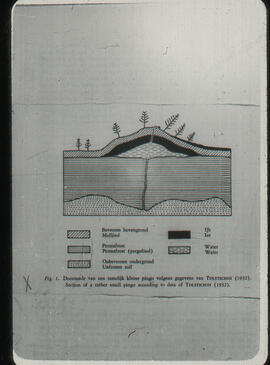
Section through a small pingo
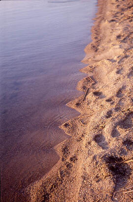
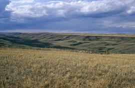
Dore Lake Beach
Dore Lake Beach
Ice-contact gravel ridge - northeast of Lampman, Saskatchewan
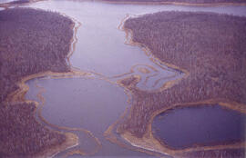
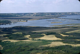
Aerial view of dead ice moraine - effects of lowered water level
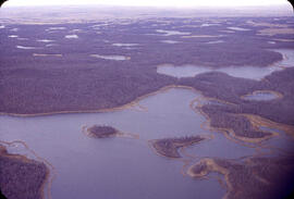
Aerial view of dead ice moraine with knob and kettle topography
Alluvial fan from tributary into Qu'Appelle Valley - Katepwa, Saskatchewan
Terraces along the Arm River Channel near Aylesbury, Saskatchewan
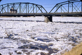
Ice jamming during break up
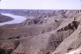
South Saskatchewan River near Prelate Ferry
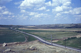
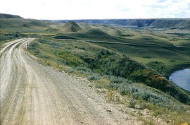
Highway 11 at Blackstrap Coulee
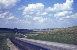
Blackstrap Coulee
Blackstrap Coulee
Results 1 to 15 of 55