- 68-191
- Item
- 1969
Part of MJ General Photograph Collection
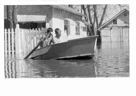
Two boys paddle a boat in a residential area of Moose Jaw during flooding of Moose Jaw River
21 results with digital objects Show results with digital objects
Part of MJ General Photograph Collection
Two boys paddle a boat in a residential area of Moose Jaw during flooding of Moose Jaw River
Part of MJ General Photograph Collection
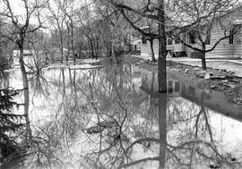
Flooding in residential area in Moose Jaw, with reflection of house and trees in flood water
Part of MJ General Photograph Collection
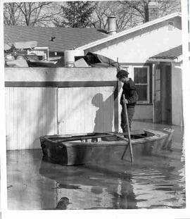
A boy holding a pole stands in a boat in flood waters of Moose Jaw River in Moose Jaw; house in background
Flooding of Brouwershaven, island of Schouwen
Part of W.O. Kupsch fonds
Aerial photograph shows the flooded areas in the surroundings of Brouwershaven, island of Schouwen. Can see only the tops of fencelines and roofs of buildings.
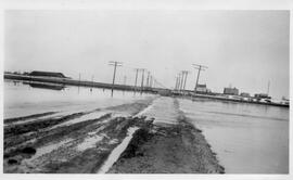
Water pools across the east road leading into Sovereign.
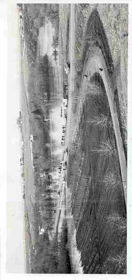
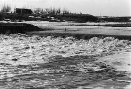
Flooding along Moose Jaw River
Part of MJ General Photograph Collection
Elevated view of bridge and Moose Jaw River with cars and people along side of road
Extent of flooding in southwestern Netherlands
Part of W.O. Kupsch fonds
Map of southwestern Netherlands the extent of flooding. Map copied from a book.
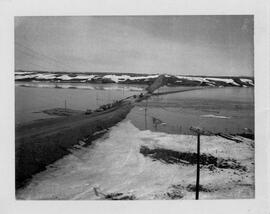
HW #4 with Eagle Creek flood waters cresting over the bridge. A highway crew are working on the flooded bridge on the highway.
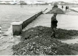
Eagle Creek floods over Highway 4
Eagle Creek has flooded highway 4 and a four man road crew is working on it.
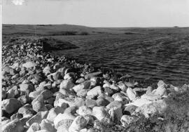
Trapp's Dam - second dam reservoir full in 1994 after being washed out in 1992 then repaired.
Blind Creek flooding over Trapp's No. 1 dam spillway. Water flows from west to east to join the South Saskatchewan River near Saskatoon.
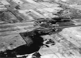
An aerial view of the Blind Creek near Zealandia flooding in the spring. The water flowed west to east and met up with the South Saskatchewan River near Saskatoon.