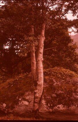
Glory hole, Ruby Gulch Mine, Little Rock Mountains
- WOK 6-8
- Stuk
- 1951
Part of W.O. Kupsch fonds
Glory hole, Ruby Gulch Mine, Little Rock Mountains. Dark yellow green rock under trees to the left is Precambrian amphibolite schist. To the right of this is white veined syenite (Tertiary), to right of this is the Ruby shear zone (gold) in the syenite and farther to the right is syenite with pyrite.