- S-33
- Item
- 1963
Looking southeast with the Bowl and surrounding buildings at centre.
376 resultados con objetos digitales Muestra los resultados con objetos digitales
Looking southeast with the Bowl and surrounding buildings at centre.
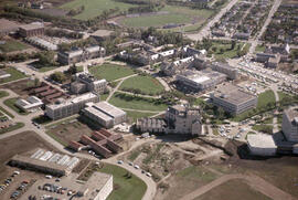
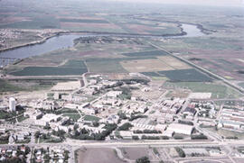
Looking southeast with the Bowl and surrounding campus buildings at centre; prairie fields and Saskatoon residential districts in background.
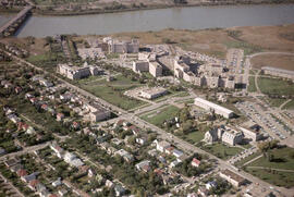
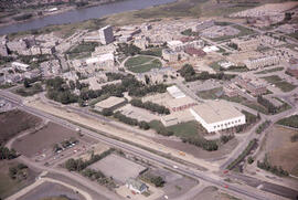
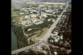
Looking northwest with houses and College Drive in foreground. St. Andrew's College and University Hospital at centre; South Saskatchewan River in background.
Looking north at University Hospital and St. Andrew's College in foreground. College Drive running along right of image. The Bowl and surrounding campus buildings at centre; Sutherland in background.
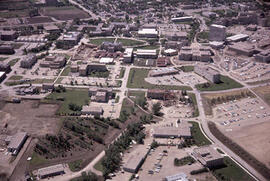
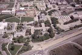
Looking northwest with College Drive and Physical Education Building in foreground; the Bowl and surrounding campus buildings at centre.
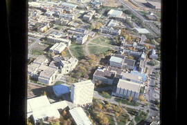
Looking southeast with Arts Building and Murray Memorial (Main) Library in foreground; the Bowl and surrounding campus buildings at centre.
Looking south with the northern section of campus in foreground; the Bowl and surrounding buildings in background. College Drive running along top of image.
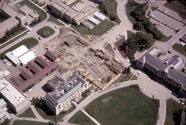
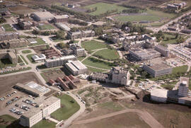
Physics Building - Construction
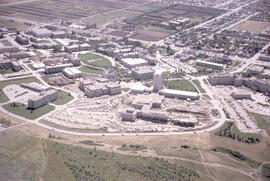
Aerial view showing construction of the Physics addition, with a partial view of the Bowl and Administration Building.
View looking north with College Drive in foreground, with the Bowl and surrounding campus buildings.
Looking southeast at the Bowl and surrounding campus buildings.
Looking north with College Drive and the Bowl with surrounding campus buildings in foreground.
Looking northeast with College Drive intersecting image; campus buildings in background.
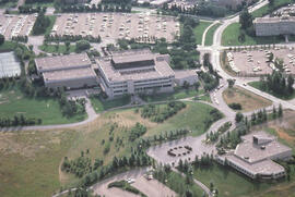
University of Saskatchewan College of Education Building
Aerial view of the exterior of the College of Education building and Diefenbaker Centre.
Dune erosion from gales , North of Bergen aan Zee
Parte deW.O. Kupsch fonds
Aerial photograph showing the gaps in dunes caused by violent gales, North of Bergen aan Zee.
Flooding of Brouwershaven, island of Schouwen
Parte deW.O. Kupsch fonds
Aerial photograph shows the flooded areas in the surroundings of Brouwershaven, island of Schouwen. Can see only the tops of fencelines and roofs of buildings.