The Rosetown General Photograph Collection spans approximately ten decades of the history of Rosetown and district, consisting of photographs taken by and collected by the Rosetown Centennial Library Archives.
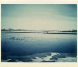
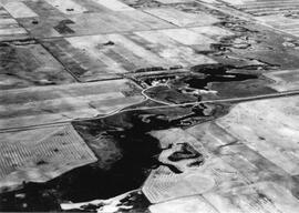
An aerial view of the Blind Creek near Zealandia flooding in the spring. The water flowed west to east and met up with the South Saskatchewan River near Saskatoon.
Aerial photograph shows the flooded areas in the surroundings of Brouwershaven, island of Schouwen. Can see only the tops of fencelines and roofs of buildings.