Aperçu avant impression
Fermer
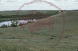
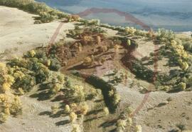
Meewasin Creek FbNp-9 : test excavations for Tipperary Creek survey
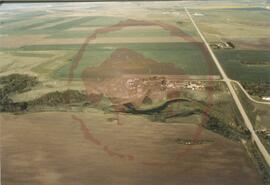
Aerial view of the park taken from the south-east
Aerial view of the park taken from the south-east
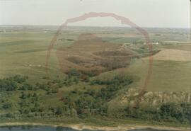
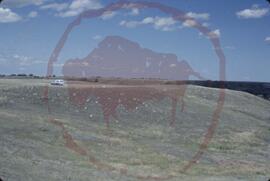
Aerial view of the park taken from the south
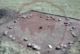
Sunburn Tipi Ring FbNp-7 : looking northeast
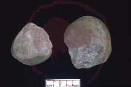
Sunburn Tipi Ring FbNp-7 : artifacts
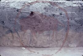
Mosquito FbNp-5 : test pit 1 stratification facing south
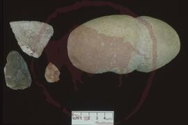
Opimihaw Bison Jump FbNp-18 : artifacts

Cathedral Peak FbNp-20 : test pit 2 looking north
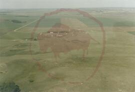
Crowsnest FbNp-8 : level plain above Meewasin Basin looking northeast
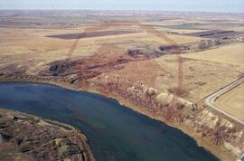
Aerial view of the park taken from the east showing Opimihaw creek and Penner road
Aerial view of the park
Aerial view of the park taken from the north
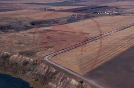
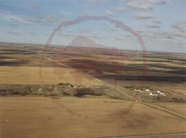
Aerial view of the park taken from the east showing Penner road
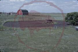
Mosquito FbNp-5 : garden facing northwest
Résultats 1 à 15 sur 1714
