Title and statement of responsibility area
Title proper
Buffalo Lake Water Conservation Association fonds
General material designation
- Textual record
Parallel title
Other title information
Title statements of responsibility
Title notes
Level of description
Fonds
Reference code
Edition area
Edition statement
Edition statement of responsibility
Class of material specific details area
Statement of scale (cartographic)
Statement of projection (cartographic)
Statement of coordinates (cartographic)
Statement of scale (architectural)
Issuing jurisdiction and denomination (philatelic)
Dates of creation area
Date(s)
Physical description area
Physical description
6.00 cm of textual records.
1 map.
Publisher's series area
Title proper of publisher's series
Parallel titles of publisher's series
Other title information of publisher's series
Statement of responsibility relating to publisher's series
Numbering within publisher's series
Note on publisher's series
Archival description area
Name of creator
Administrative history
Buffalo Pound Lake was also known as Buffalo Lake and High Pound Lake. It is the water source for the cities of Regina and Moose Jaw and for the potash mining operations in the Belle Plaine area.
The lake was shallow and the broad downstream end allowed spring runoff to quickly drain. During the late 1920's, a committee was formed to investigate building a dam. It wasn’t until 1933, with a combination of drought and large government projects attempting to stimulate the economy and provide employment, that a formal association formed to promote the building of a dam in the Qu’Appelle River Valley to raise and stabilize water levels in Buffalo Pound Lake.
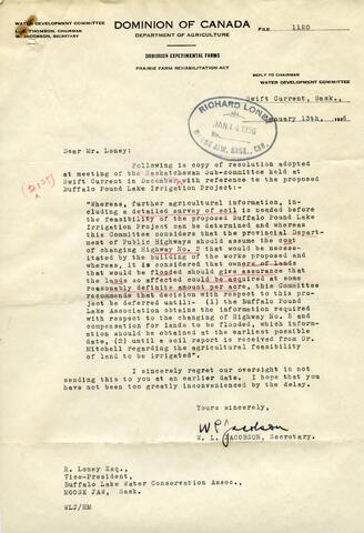
The Buffalo Lake Water Conservation Association was formed at a meeting in the Grant Hall Hotel on August 9, 1933. The first directors were: W.G. Ross - President, Richard Loney - Vice President, and George D. Mackie - Secretary/Treasurer. Petitions were circulated and research was done. At some later date, Richard Loney served as chair.
Arguments made in support of the project included the development of a resort for fishing and camping, employment, irrigation, a steady water supply and flood prevention.
During the Fall of 1935, a survey party spent a month surveying topography and profiles of proposed dam sites.
It was clear from comments made by government that these projects must show an agricultural benefit. According to the Prairie Farm Rehabilitation Administration (PFRA), the balance of the values are secondary. As agriculture was not the primary benefit of this project, it was not supported.
A dam and control structure was built by the PFRA in 1939 to control the outflow of the lake and in 1967 the lake became part of the water diversion from the Lake Diefenbaker/Qu’Appelle River Dam project.
Custodial history
Scope and content
This fond consists of records of the Buffalo Lake Water Conservation Association that were held by Richard Loney. They are primarily correspondence and “general” files relating to the Association, likely filed by Loney. There is also a file relating to petitions and lists of area landowners, a scrapbook of press clippings relating to this and other similar projects and a reprinted speech to the Legislative Assembly given by W.G. Ross supporting the project.
Notes area
Physical condition
Numerous tears in map was given spot repair with Filmoplast P to prevent further tearing.
Immediate source of acquisition
Accession number 40.BA donated to the archives by Harold Loney.
Arrangement
Language of material
- English
Script of material
Location of originals
Availability of other formats
Restrictions on access
Terms governing use, reproduction, and publication
Finding aids
Finding aid and file list available. See attached finding aid.
Uploaded finding aid
Associated materials
“The Engineering Journal” - Vol XVIII - No. 4, April 1935. Contains numerous articles dealing with drought, water conservation & resources on the Canadian Prairie, transferred to the archival books collection.
Accruals
No further accruals expected.
Conservation
This fonds was re boxed and foldered; Filmoplast P was used on map in 2004.
Location note
Box V-28