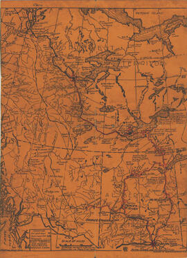
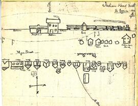
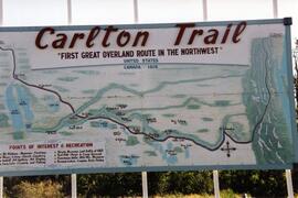
Sketch/map by Edwin J. Brooks of the CPR station and buildings along the railway - all labelled. A path (later Grand Avenue) goes to the northwest and is labelled "To Bell..."
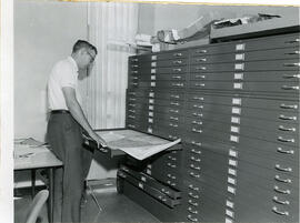
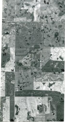
J.C. McConnell, instructor in Geography and Librarian for the Land Use Mapping Project, checks the accuracy of maps made from air photo interpretations.